Project Alcatraz
Like any other national park site Alcatraz needs to be maintained. The National Park Service (NPS) and an army of … Continue reading Project Alcatraz
Like any other national park site Alcatraz needs to be maintained. The National Park Service (NPS) and an army of … Continue reading Project Alcatraz
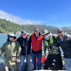
I love a great story. This one certainly ticks that box. It’s so good that NatGeo added it to their … Continue reading The Beeswax (aka Goonies) Wreck

Recently I was part of a SEARCH project at Ft. Benning, Georgia. The project involved working with the Cultural Resource … Continue reading An Amazing Couple of Days at Ft. Benning, GA
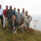
This photo was taken 15 years ago today, October 5, 2007, on Rapa Nui aka Easter Island. It is a happy … Continue reading 15 Years . . . and counting
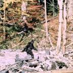
In the summer of 2021, I had an idea that I thought would make for an interesting forensic analysis of … Continue reading A Forensic Analysis of the Patterson-Gimlin Film
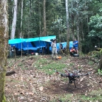
I get asked a lot about how I discovered the Emesent Hovermap. The answer is one of my favorite stories, … Continue reading The Most Amazing Product Demo EVER.

I am thrilled about my new partnership with SEARCH! SEARCH is the archaeological services company . . . and they … Continue reading SEARCH
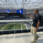
It was a real privilege to be part of a team demonstrating the power of digital twin technology at SoFi … Continue reading SoFi Stadium
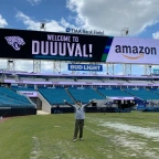
On a hot, steamy day in late April 2021 I had the pleasure of flying TIAA Bank Field in Jacksonville, … Continue reading TIAA Bank Field
In August of 2020 I was asked to participate in the ongoing research at Skinwalker Ranch in Utah. Season 2 … Continue reading Skinwalker Ranch
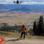
Last week the first of three Natural Selection Tour snowboarding events took place at Jackson Hole Mountain Resort in Jackson … Continue reading 2020 Natural Selection Tour
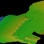
I remain fascinated by the possibilities afforded by integrating many different datatypes. With the ever-increasing list of sensors that can … Continue reading Pushing the Envelope at Fort Casey State Park
The last few months have been intense. First, the unpleasant stuff. I lost one of my closest friends in late … Continue reading The last few months . . .
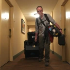
Recently it occurred to me that both “phases” of my professional life have something in common: a ton of gear. … Continue reading A 40 Year Obsession with Gear

During the night of August 17-18, 1943 the Royal Air Force (RAF) launched Operation Hydra, a massive, nighttime bombing raid … Continue reading Operation Hydra

The photo on the left is known as “The photo that won World War II.” It was taken on the … Continue reading Buna – Papua New Guinea

What a powerful episode this was. One can’t help but be impressed by what the Nazis achieved technically with the … Continue reading Hitler’s Killer Rocket: Behind the Scenes

First episode done, five more to go. Thank you all for the kind words this morning. Marty, the crew and … Continue reading BSWWII Pearl Harbor – Behind the Scenes
It’s fitting that NatGeo chose tonight to premiere our new series, Buried Secrets of WWII. Yesterday, September 1st was of … Continue reading Buried Secrets of WWII – Pearl Harbor
Discovery Channel, Expedition Unknown, Season 7 / Episode 8: America’s Lost WWII Hero – First aired May 22, 2019 Now that … Continue reading America’s Lost WWII Hero – Behind the Scenes
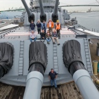
The first stage of the USS Iowa project is done. Using 3x FARO scanners, 6x DJI sUAS (drones), and a … Continue reading USS Iowa Project: Phase One
I have been interested in this story for many years. At long last we were able to put together a … Continue reading The Last Missing WASP of WWII
Happy to report that Phase One of the Glen Canyon Dam project is complete. The Autodesk / Bureau of Reclamation … Continue reading Glen Canyon Dam: Phase One Complete
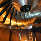
Toured Glen Canyon Dam last week in preparation for pending project. We will begin the “capture” phase of this facility, … Continue reading Glen Canyon Dam – Page AZ
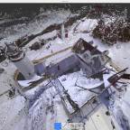
What a pleasure to scan/fly/capture this iconic site with friends David Heath and Terry Bennett TWICE at two different times … Continue reading Pemaquid Point Lighthouse

David Heath from Bath Iron Works joined Terry Bennett and Pete Kelsey from Autodesk this week in Livermore, Maine to … Continue reading Reality Capture at Norlands
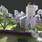
While conducting coral research with the National Park Service in Kalaupapa, Hawaii we took delivery of a FARO Focus … Continue reading St. Philomena Church, Kalawao, Hawaii
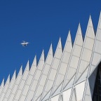
What an honor it has been to participate in a reality capture project at such an iconic place! I led an … Continue reading U.S. Air Force Academy Cadet Chapel
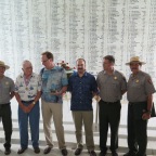
On Memorial Day this week the National Park Service and Autodesk, Inc held a press conference to share an early … Continue reading Arizona Memorial Project Shared with the Media
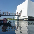
A few weeks back a team from NPS, HDR, Autodesk, Sam Hirota, OIC, USCG and USN began work to survey … Continue reading Arizona Memorial – Pearl Harbor HI
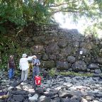
We laser scanned five incredible and beautiful sites on Kosrae: the 1,200 year-old Polynesian Lelu ruins and four Japanese WWII-era … Continue reading Laser Scanning on Kosrae, FSM
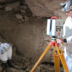
Laser scan, model, and analyze a bat cave to learn about White Nose Syndrome, a fungus that has killed 5 million bats to date. Continue reading Bat Caves of Northern Arizona